Location and Mapping
Solution
Delivers location intelligence right to your fingertips

Why business need location and
mapping solution

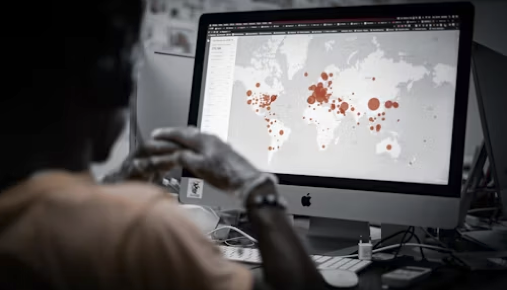
Visualize Geospatial Data
Transform complex geographic information into intuitive maps for better decision making.

Geographic Analysis
Identify trends, patterns and opportunities within different regions which can help in strategic planning.

Customer Targeting
Enable businesses to understand geographic distribution of their customer which is crucial for tailor marketing strategies.

360° Street View Image
Providing immersive, interactive experiences that enhance engagement and decision-making.
Explore key features and benefits

Navigation with Street View Image
Enhances navigation by providing visual context for better decision-making and a more immersive experience.

On-premises platform
Sensitive Geospatial data are keep within organization’s infrastructure. Business have greater control over customization and integration with other existing systems.

Search and Filtering
To locate specific places, points of interest, or geographic coordinates within a map.

Actionable insights with AI
Provides additional details that help viewers understand the image better, such as labels or annotations explaining specific features.
High Performance Map
Offer high precision with detailed and accurate geographic information. Regularly updated data to ensure relevance.

Point of Interest Layer Management
Ensures that users view only the layers pertinent to their roles or needs, enhancing focus and efficiency.
Geospatial Data for Comprehensive Insights

Human Profile
Encompasses detailed demographics information for targeted decision-making

Human Mobility
Provides information on how people travel through different areas

Web Usage
Offer user interactions with websites providing insights to user behaviour and website performance

Cruise Port Schedule
Offers information on arrival and departure times of cruise ships, port availability, and passenger traffic

Flight Schedule
Offers details on departure and arrival times, flight routes and aircraft schedules

Weather forecast
Weather forecast data detailing rain areas in every five minute intervals.
Explore Use Cases
Urban Planning

Local agencies can use an on-premise map platform to visualize and analyze urban development projects, zoning regulations, and infrastructure plans
It allows for detailed spatial analysis and planning, ensuring data security and compliance with regulatory requirements
Site Selection for Retail

A retail business can leverage an on-premise map platform for site selection by analyzing factors such as demographic data, traffic patterns, competitor locations, and existing store performance
The platform helps identify high-potential locations that align with the company’s target market, optimize site profitability, and reduce risk by providing a comprehensive spatial analysis before making investment decisions
Target Marketing Campaign

A retail company can use an on-premise map platform to enhance targeted marketing by analyzing customer location data, purchasing behavior, and local trends
By visualizing this data on interactive maps, the company can tailor promotions and advertising efforts to specific geographic areas, optimize campaign reach, and increase engagement by delivering relevant offers to the right audience based on their location and preferences
Unlock the Power of Accurate Mapping and Location Insights
© 2024 ACIAS TECHNOLOGIES PTE LTD. ALL RIGHTS RESERVED.